|
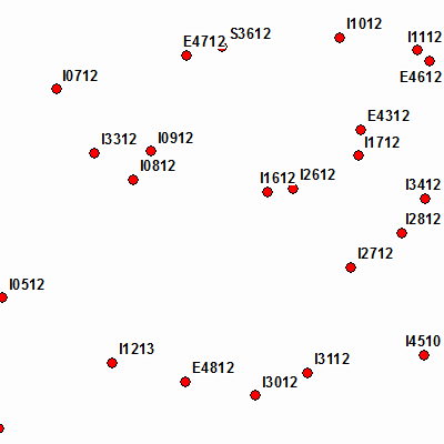
Width: 400 Height: 400 Extent:
YMin: 47.7174311332724 XMax: 19.702108272188 YMax: 48.1109939836368 Spatial Reference: 4326 Scale: 413500.000000079 |
| ArcGIS Services Directory |
| Home > tim > tim_kereso (MapServer) | Help | API Reference |

|
Width: 400 Height: 400 Extent:
YMin: 47.7174311332724 XMax: 19.702108272188 YMax: 48.1109939836368 Spatial Reference: 4326 Scale: 413500.000000079 |