|
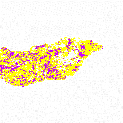
Width: 400 Height: 400 Extent:
YMin: 43.6595223948692 XMax: 24.0306681041091 YMax: 50.685067411131 Spatial Reference: 4326 Scale: 7381445.83904448 |
| ArcGIS Services Directory |
| Home > pir > parlagfu_foltok (MapServer) | Help | API Reference |

|
Width: 400 Height: 400 Extent:
YMin: 43.6595223948692 XMax: 24.0306681041091 YMax: 50.685067411131 Spatial Reference: 4326 Scale: 7381445.83904448 |