|
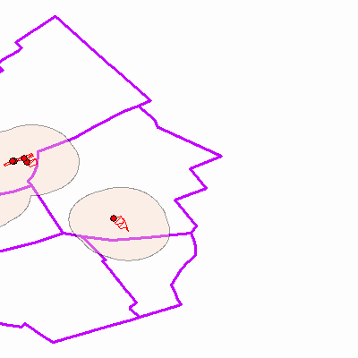
Width: 400 Height: 400 Extent:
YMin: 46.0538751369501 XMax: 19.6255129276572 YMax: 46.38787064605 Spatial Reference: 4326 Scale: 350915.089889608 |
| ArcGIS Services Directory |
| Home > novenyvedelem > meh (MapServer) | Help | API Reference |

|
Width: 400 Height: 400 Extent:
YMin: 46.0538751369501 XMax: 19.6255129276572 YMax: 46.38787064605 Spatial Reference: 4326 Scale: 350915.089889608 |