|
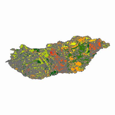
Width: 400 Height: 400 Extent:
YMin: 43.42695092295 XMax: 23.2376268205501 YMax: 50.8908024730501 Spatial Reference: 4326 Scale: 7841956.15289742 |
| ArcGIS Services Directory |
| Home > memnak > talajterkep (MapServer) | Help | API Reference |

|
Width: 400 Height: 400 Extent:
YMin: 43.42695092295 XMax: 23.2376268205501 YMax: 50.8908024730501 Spatial Reference: 4326 Scale: 7841956.15289742 |