|
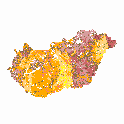
Width: 400 Height: 400 Extent:
YMin: -77461.1431062287 XMax: 971617.458548783 YMax: 498880.456893765 Spatial Reference: 23700 Scale: 1850000 |
| ArcGIS Services Directory |
| Home > kiadv > talajtulajdonsag (MapServer) | Help | API Reference |

|
Width: 400 Height: 400 Extent:
YMin: -77461.1431062287 XMax: 971617.458548783 YMax: 498880.456893765 Spatial Reference: 23700 Scale: 1850000 |