|
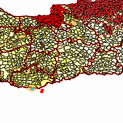
Width: 400 Height: 400 Extent:
YMin: 44.7831100524013 XMax: 20.7716758973543 YMax: 48.2050289446542 Spatial Reference: 4326 Scale: 3595266.83129954 |
| ArcGIS Services Directory |
| Home > aaijo > asp (MapServer) | Help | API Reference |

|
Width: 400 Height: 400 Extent:
YMin: 44.7831100524013 XMax: 20.7716758973543 YMax: 48.2050289446542 Spatial Reference: 4326 Scale: 3595266.83129954 |