|
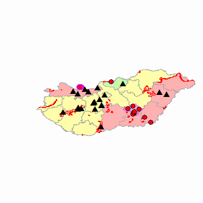
Width: 400 Height: 400 Extent:
YMin: 42.865194871918 XMax: 23.2344603082222 YMax: 51.5319501481014 Spatial Reference: 4326 Scale: 9105796.70663615 |
| ArcGIS Services Directory |
| Home > aaijo > HPAI_kulso (MapServer) | Help | API Reference |
|
|
Width: 400 Height: 400 Extent:
YMin: 42.865194871918 XMax: 23.2344603082222 YMax: 51.5319501481014 Spatial Reference: 4326 Scale: 9105796.70663615 |